Auto Roadway Development:
The most notorious transcontinental Auto roadway was Highway Route 66, originally commissioned in 1926, running from Chicago, West, across 8 states 2448 miles to Los Angeles. It was extended and paved further East in 1937. Interstate 1-40 has replaced it. Most of route 66 has been decommissioned. Arizona has the longest stretch that is still driveable.
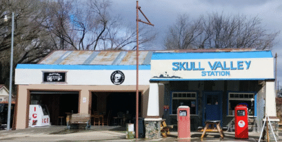
The early auto roadway from Prescott to Phoenix initially followed the railroad routing over Iron Springs and down some 1800 feet in elevation into Skull Valley. An earlier horse route was established thru Copper Basin which was more direct and was primarily established and used by the area minors and early ranchers in this area.
Copper Basin road is still unpaved and is more of a pickup road than for car traffic. The first 5 miles of the Iron Springs road coming out of Prescott were paved in the 1940’s. Some major realignment to do away with the “Horseshoe Bend” area was undertaken in the late 1950’s and the pavement was extended to the Contreras road junction.
The next paving segment then carried it thru the Valley with a slight realignment and connected it to the paved highway 89 @ Kirkland junction in the early 1960’s. Charles Genung, early pioneer, miner & Indian fighter is credited with the construction of a short cut roadway from Stanton, up over Antelope Hill to Yarnell, across Peeples Valley and connected to the La Paz Trail near Kirkland; thus cutting off many miles of trail around the Date Creek route to get to Wickenburg & Phoenix. That route was realigned, upgraded and paved in 1927.
The segment up Yarnell Hill was then further improved in 1972 by making a parallel divided route up this same major hill face. The 1927, narrow 2 lane highway was a fearful challenge to many drivers, as there were few guardrails & almost no places to pass. Several vehicles have gone over the side and down the steep incline.
The White Spar highway leads out of Prescott , South West thru Wilhoit, Kirkland Jct.; Peeples Valley; Yarnell; Congress Junction then on South East into Wickenberg, and then across the desert floor to Phoenix. Black Canyon highway [1-17] is the main North South connector between Phoenix and Flagstaff, and is frequently used by people from Prescott and Skull Valley.